
Welcome
Nashua - Merrimack - Bedford 13761
Project Description
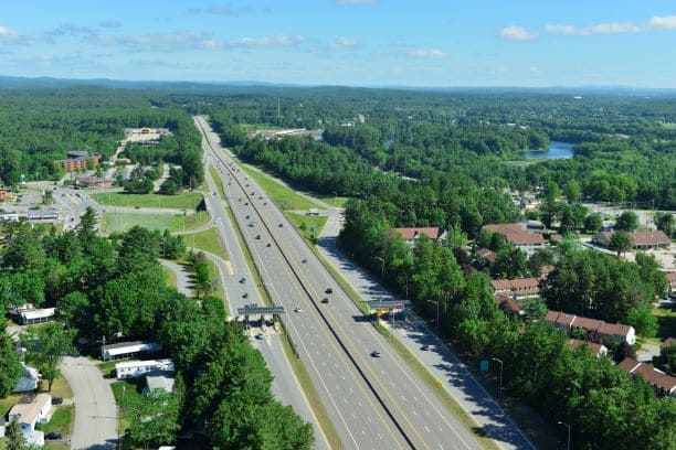
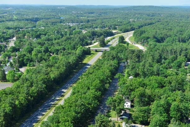
The F.E. Everett Turnpike (F.E.E.T.) was constructed in the early 1950s and has served as a link from Central New Hampshire to US Route 3 in Massachusetts. Today it remains a vital north/south transportation corridor linking residents, communities, commerce, and year-round tourists throughout New Hampshire, and travel between New Hampshire and Massachusetts. The project proposes to widen portions of the roadway and either replace or rehabilitate bridges along a 12 mile corridor beginning in the City of Nashua and extending north through the Town of Merrimack and to the Town of Bedford.
Final Design and Construction are on-going with portions of the corridor already constructed. The remaining construction will span multiple construction seasons and will be completed in multiple construction projects.
Major Construction Project Elements
- Widen three segments of the F.E.E.T. from Nashua north to Bedford to address traffic capacity
- Replace the F.E.E.T. Bridges over the Pennichuck Brook (Nashua/Merrimack)
- Rehabilitate the bridge rail and perform deck preservation and bridge joint improvements on the F.E.E.T. Bridge over Greeley Street / Continental Boulevard (Merrimack)
- Replace the Wire Road Bridge over the F.E.E.T. (Merrimack)
- Replace the Baboosic Lake Road Bridge over the F.E.E.T. (Merrimack)
- Replace the F.E.E.T. Bridge over Baboosic Brook (Merrimack)
- Stormwater treatment improvements throughout the project area
- Noise assessments and construction of noise abatement barriers
Purpose and Need
Benefits of the Project
- Improved traffic capacity and reduced traffic congestion
- Improved safety
- Bridges will be rehabilitated or replaced
Project Overview Map
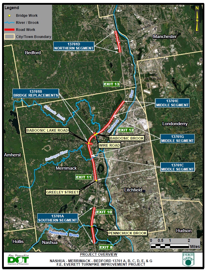
Project List with Descriptions
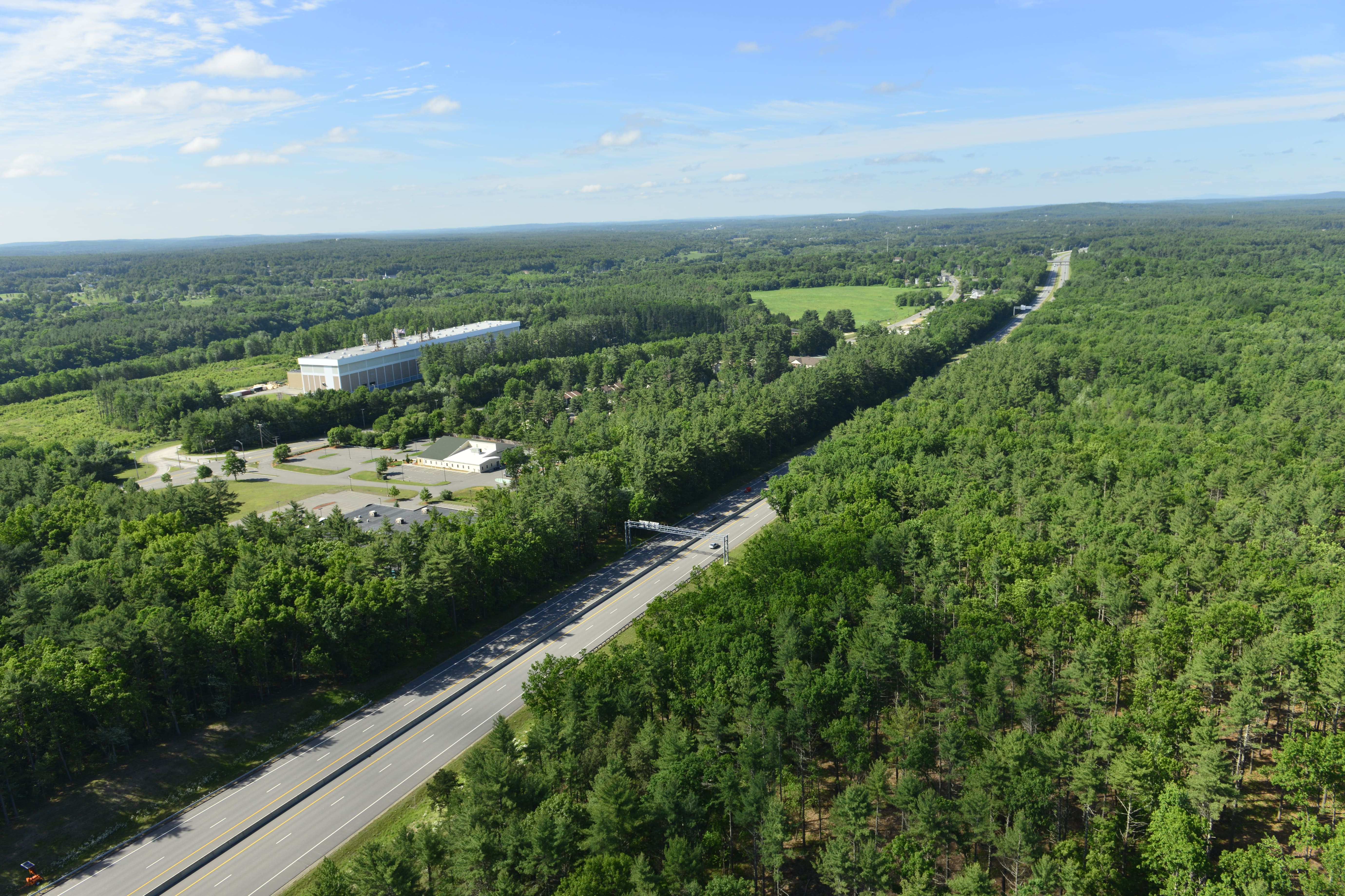
This project proposes to improve the capacity of the F.E. Everett Turnpike (F.E.E.T.) by providing at least three lanes in each direction beginning approximately 2,000 feet north of the Exit 8 overpass bridge in Nashua and extending north to the I-293 interchange in Bedford. This work requires widening three separate segments of the highway, as described below.
Southern Segment (Nashua and Merrimack)
Project 13761A
This project begins approximately 2,000 feet north of the Exit 8 overpass bridge in Nashua and runs northerly for approximately 1.5 miles, ending approximately 2,000 feet south of the Exit 10 overpass bridge in Merrimack.
Southern Segment location map (PDF) Detailed plan for Project 13761A (PDF)
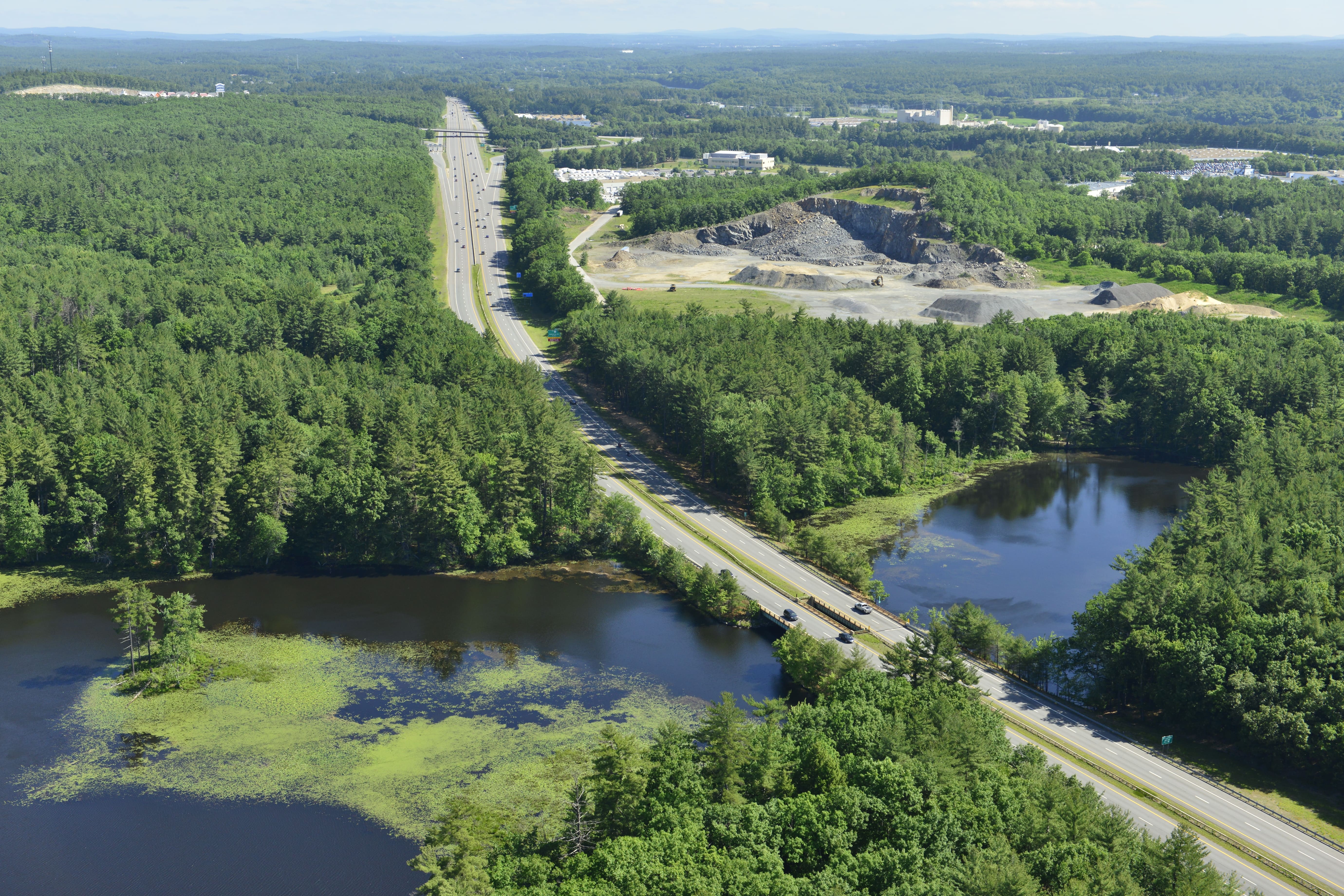
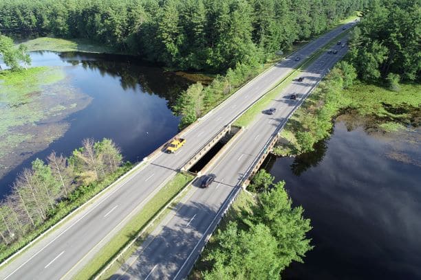
The two bridges over Pennichuck Brook, a drinking water reservoir, require replacement due to their advanced age, deteriorating structural elements, and the need to widen them to accommodate three lanes in each direction. Construction activities along the causeway have been designed to minimize impacts to the reservoir. Careful attention to erosion control, stormwater management, and environmental protection are included.
A portion of the Exit 10 southbound on-ramp and northbound off-ramp will be reconstructed and stormwater treatment facilities will be constructed as part of this project.
Middle Segment (Merrimack)
Project 13761B - Bridge Replacements
The middle segment begins just north of Greeley Street at Exit 11 and extends northerly approximately 5.3 miles to a point about one mile south of the Bedford Toll Plaza. This segment is entirely within the Town of Merrimack and is divided into three construction projects.
Middle segment location map (PDF)
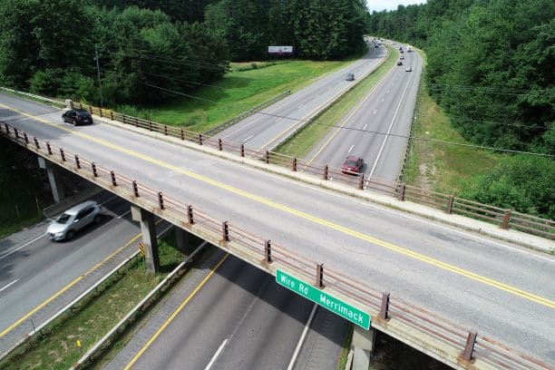
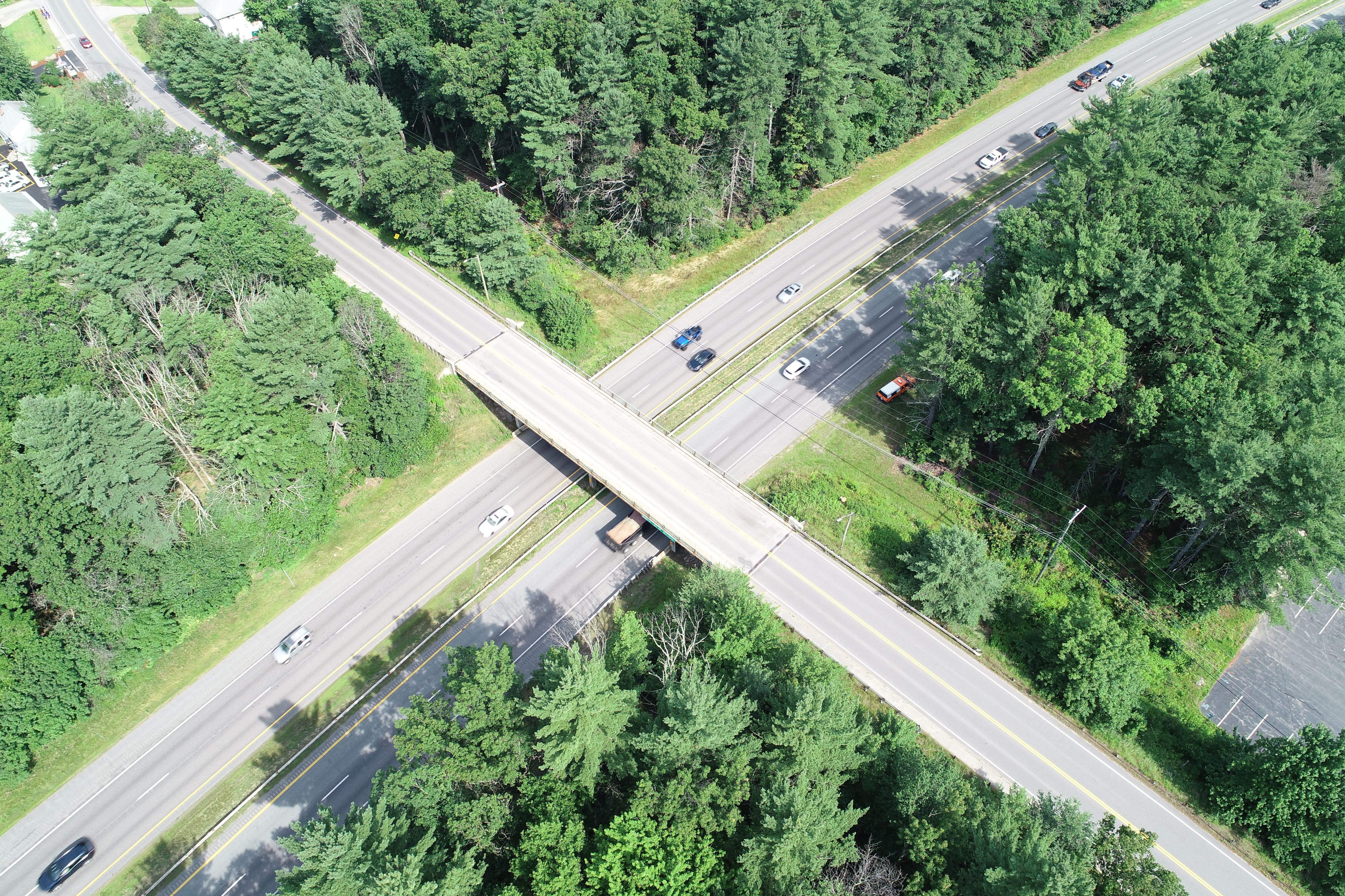
Two overpass bridges between Exit 11 and Exit 12 require replacement due to their age and insufficient span length to accommodate the widened Turnpike. These bridges carry Baboosic Lake Road and Wire Road over the F.E.E.T.
Work on Baboosic Lake Road will begin near Rose Lane and extend approximately 1,850 feet south to just south of O'Gara Drive. Work on Wire Road will begin approximately 1,000 feet north of the bridge and extend 2,150 feet south to the intersection with McGaw Bridge Road.
Sidewalks will be provided on both sides of the new Baboosic Lake Road Bridge and on the north side of the Wire Road Bridge. Both roadways are town-owned and town-maintained.
Bridge replacement location map (PDF) Baboosic Lake Road Bridge plan (PDF) Wire Road Bridge plan (PDF) FEET Roadway plan (PDF)
Project 13761C
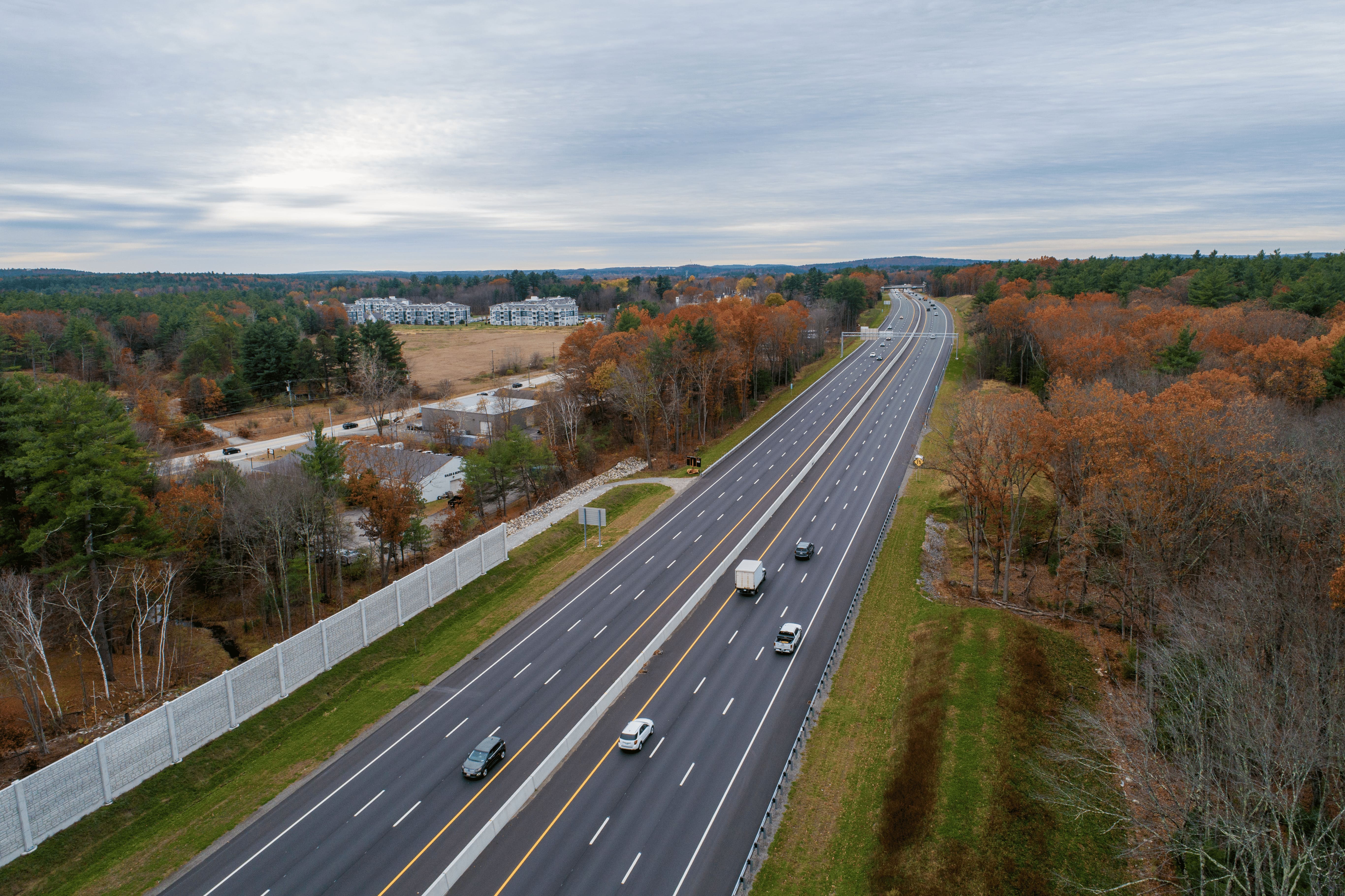
The project begins at Exit 10 and runs northerly to just north of the Souhegan River Bridge. The bridge over Greeley Street will be rehabilitated. The ramps at Exit 11 will be reconstructed to meet current design standards and remove excess pavement remaining from the former toll plazas. The existing concrete median barrier between Exit 10 and Exit 11 will be replaced with taller barrier. The Turnpike will be widened to three lanes in both directions for approximately 1.5 miles.
A culvert carrying Naticook Brook under the Turnpike will be replaced due to its advanced age. Stormwater treatment facilities and noise abatement barriers will also be constructed as part of this project.
Project 13761C detailed plan (PDF)
Project 13761E
Project 13761E widened approximately 1 mile of the Turnpike to three lanes in each direction from just north of Exit 12 to approximately one mile south of the Bedford Toll Plaza matching into the Bedford 16100 All Electronic Tolling Project. In addition to roadway widening, the culvert carrying Dumpling Brook was replaced.
Project 13761E detailed plan (PDF)
Project 13761G
The project begins just north of the Souhegan River Bridge and extends 2.5 miles northerly to just north of Exit 12 matching into the complete 13761E project. The bridge over Baboosic Brook will be replaced due to its age, need to provide additional hydraulic capacity and wildlife passage, and need for additional width to accommodate the Turnpike widening. The ramps at Exit 12 will be reconstructed to meet current design standards and remove excess pavement remaining from the former toll plazas. The Turnpike will be widened to three lanes in both directions for approximately 2.5 miles.
Stormwater treatment facilities and noise abatement barriers will also be constructed as part of this project.
Northern Segment (Bedford)
Project 13761D
The northern segment began approximately 0.6 miles south of the US Route 3 overpass bridge and proceeded northerly for approximately 1.3 miles, ending at the NH Route 101 ramps within the I-293 interchange.
Northern segment location map (PDF) Project 13761D detailed plan (PDF)
The southern limit of this segment connected to widening completed as part of the Manchester Airport Access Road Project in 2011. Stormwater treatment facilities were constructed as part of this project.
Construction began in Spring 2022 and was completed in Fall 2024.